Welcome .....
The purpose of this website is to publish dowsing maps
relating to what are commonly known as earth energy lines but specifically
those lines that are connected with neolithic sites and places of worship both
old and new.
The site can be considered to be a continuation of the pioneering work of
Hamish Miller and Paul Broadbent, in the late 1980's, as they tracked the
famous Michael and Mary lines from Lands End to the Norfolk coast.
The information is initially derived using map dowsing techniques and is
presented using the Ordnance Survey OpenData map system. Lines are added as an
overlay plus, in some cases, actual GPS coordinates may be given as
verification of line positions is obtained.
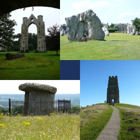
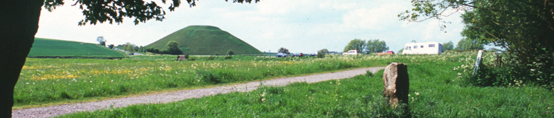
Initially the plan is to concentrate on three significant areas, lines running through Glastonbury Tor,
Avebury and the St. Leonards line originating in London and the South East.
For convenience, these lines are defined as starting in these areas but in fact they cover the entire UK
and Ireland usually in a complex pattern often difficult to follow. The Line List and Places pages have further details.
Initially, to get you started, enter the site via the Line List, to find a suitable map entry point.
Alternatively, there is now an account of dowsing and other experiences called "Dowsing Angels"
which can be downloaded
here.