Map Help and Tips
If you are not familiar with the Ordnance Survey National Grid
system
here is a link to the OS website.
The grid coordinates for any town, place, postcode or road can be found via the
grid reference finder in the main menu.
Here is an example of how to relate the coordinates from the grid reference
finder to the maps:
Enter: Church Lane Lostwithiel and the grid reference returned is
SX 10399 59917 ...Yellow=Easting, Green=Northing.
First assume the 100 km square is SX and refer to the map below
which shows how all 100km squares, in this website, are split into 4 smaller maps which would be SX-a to SX-d.

The 10 km square required is 15, that is, the first digit in the easting and northing reference.
This is shown on the map with an asterisk which is in the square SX-c
You can now open this map from the Map Entry Point link in the main menu and zoom into the 10km square 15.
To find Lostwithiel, note the next two digits in the pair which are 09.
Remember 00 is the bottom left corner square so 09 is the top left hand corner 1km square.
Here is another example: Folkstone Kent TR 21365 35522.
We need the map containing TR23 which is TR-a shown below. TR23 is just above the letter a in the 100km square map.
The remaining images are screenshots of original Google Chrome browser output.
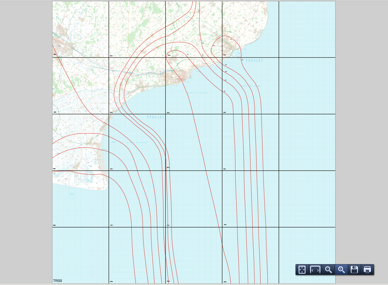
Remember this map starts at TR00 and you can see Folkstone on the coast in square TR23.
The screenshot below has zoomed in. You will see TR23 in a 10x10km square.
![]()
Zoom in again and we will see 1km squares.
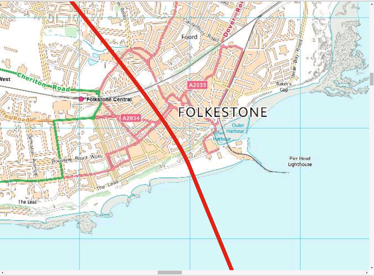
Incidentally, the red lines are part of the St. Leonards Line which, for example, passes through Canterbury Cathedral, St. Paul's Cathedral
and Templar Churches in London and Shipley.